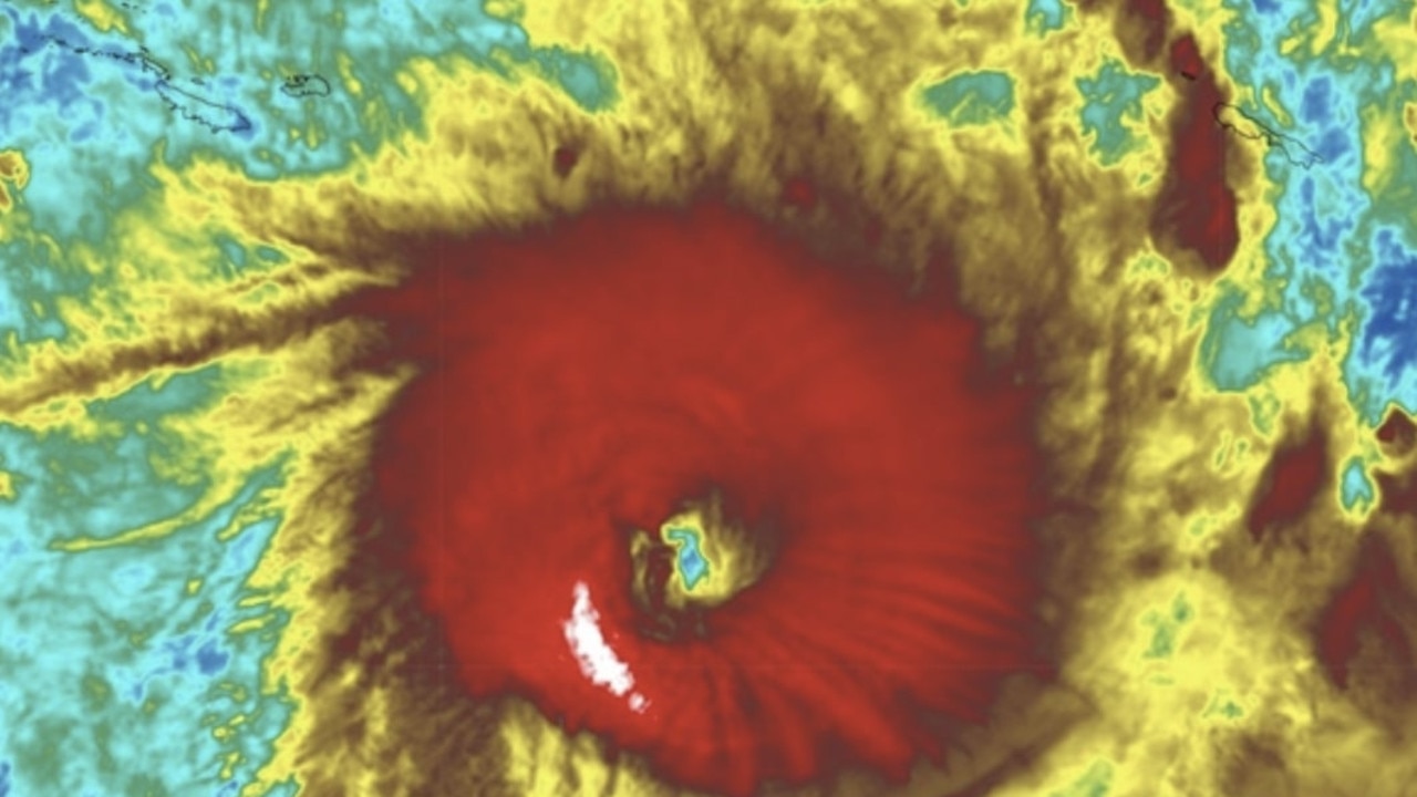
Queensland and Northern Territory residents have been warned to prepare for dangerous winds, rainfall and floods as Cyclone Jasper is likely to strengthen before making landfall over the next week.
Jasper is circling off the coast of far north Queensland as a category one storm on Monday morning, however the Bureau of Meteorology (BOM) is predicting that within 24 hours the cyclone will once again pick up steam before making landfall.
“The system is now forecast to cross as a category 2 system as it makes landfall during Wednesday, most likely between Cape Flattery and Cardwell,” the BOM warned.
Queenslands coast is already seeing the impacts of the storm, with damaging winds up to 90km/h to develop between Cooktown and Cardwell on Monday and Tuesday, which could extend as far south as Townsville or as far north as Cape Melville.
The heavy rain has also put the North Tropical Coast on flood watch from Tuesday night.
Cyclone watch zones are now in place from Cape Melville to Townsville, including Cairns, as residents prepare.
The threat of the tropical cyclone has seen residents of northern Queensland stripping supermarket shelves bare of essential items including bottled water in preparation for Jasper’s arrival.
Cairns mayor Terry James told the Today Show that local residents weren’t panicking but they had hit the supermarkets pretty hard in preparation.
“It’s pretty calm in Cairns at the moment,” he said.
“The people are going in and starting to strip the shelves of the supermarkets. I don’t think they really need to worry about that too much. But you really should stock up for around five days.
“Tinned food, things like that and cooking equipment. Make sure you have your portable stove so you can cook because more than likely we will see power failures.”
