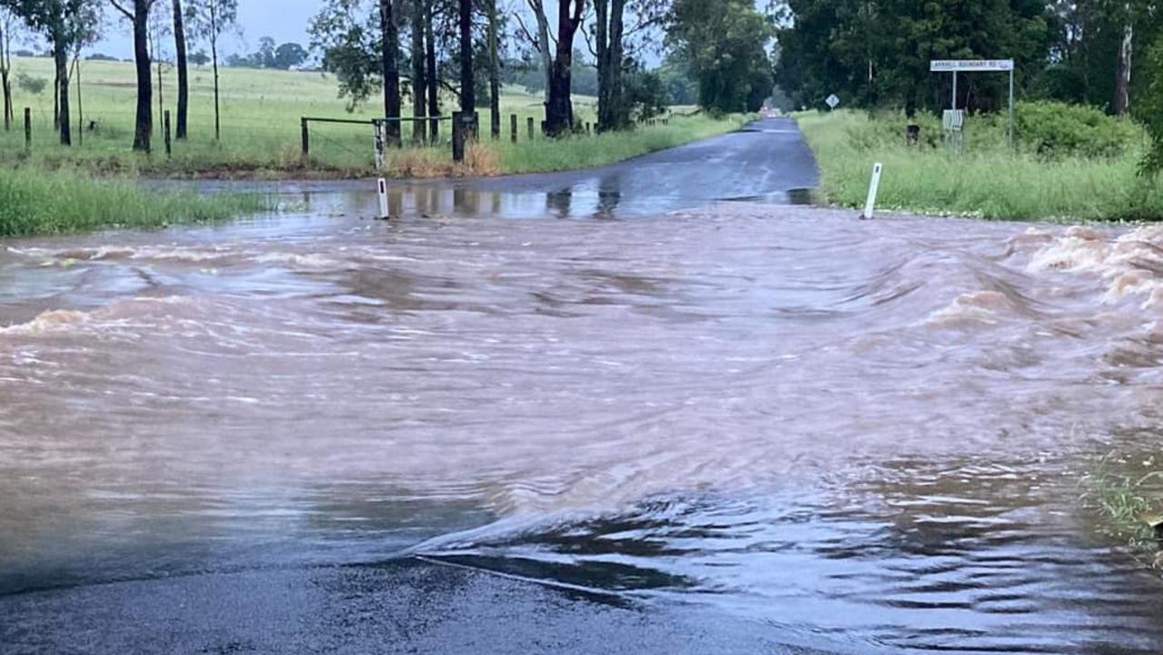
Southeast Queensland has been lashed with extraordinary rainfall, drenching many towns and threatening to submerge others.
Residents of Laidley in the Lockyer Valley are bracing for their town to be completely flooded, with the town expected to be fully underwater by midmorning.
Laidley has copped more than 300mm of rain overnight, causing major flooding for the town situated in between Ipswich and Toowoomba.
Watch and Act alerts have been issued in the region by the Queensland Fire and Emergency Services, with residents in low-lying areas encouraged to enact their emergency plans.
Councillor Chris Wilson further warned businesses and low-lying areas to prepare for the extreme flooding headed for the town.
“The peak of the flood water is expected mid morning, possibly as early as 8.30am,” Mr Wilson said.
“Current modelled levels are slightly less than the May 2022 event.
“However, this is only a model.
“Sandbags and sand are available near the Railway Station.”
Those seeking safe shelter can head to the Laidley State High School, set up as a temporary evacuation shelter.
Other towns impacted by the biblical proportion of rain are north of Brisbane, with Albany Creek, Strathpine and Samford all thrashed by more than 100mm of rain in one hour.
People have also required help from swiftwater crews in Moreton Bay, Somerset and Darling Downs, as the slow-moving trough moves across the state.
The intense rain will continue to wash out southeast Queensland and northern NSW during the next three days.
Between the Gold Coast and Gladstone, widespread rainfall of between 100mm and 150mm is anticipated – but some unfortunate towns can expect more than 300mm.
The rain has been driven by ex-Tropical Cyclone Kirrily, which tore through northern Queensland last week.
Patch Clapp of the Bureau of Meteorology said the ex-cyclone was responsible for much of the humdity and moisture in the atmosphere.
He also said the rain had been “very heavy, in both rainfall and totals”.
“We’re seeing extreme rain quite broadly in the area, with 350mm recorded in some towns,” Mr Clapp said.
“Parts of the Darling Downs have also been affected and we’re seeing a trough that will sharpen up and move further north.
“Throughout the day, we’re expecting to see a northern trend, with the severe weather moving to the northwest parts of the state.”
Mr Clapp said it was critical for locals to continue checking weather updates throughout the day, as they were dynamic and alwasy subject to change.
“About 24 hours is what we usually expect for these kinds of weather events, but in this case we may be pushing through to Friday or Saturday until we can expect to see the sun.”
The severe weather warnings have been extended into the Northern Territory, with the Tanami and Barkly regions also on flood watch as the trough moves over the country.
Western Australia will also be hit hard by the heat, with heatwave warnings issued to large parts of the north and the coast.
The Gascoyne district, the Kimberly, Pilbara and large sections of the southwest coastline have all been issued extreme warnings.
