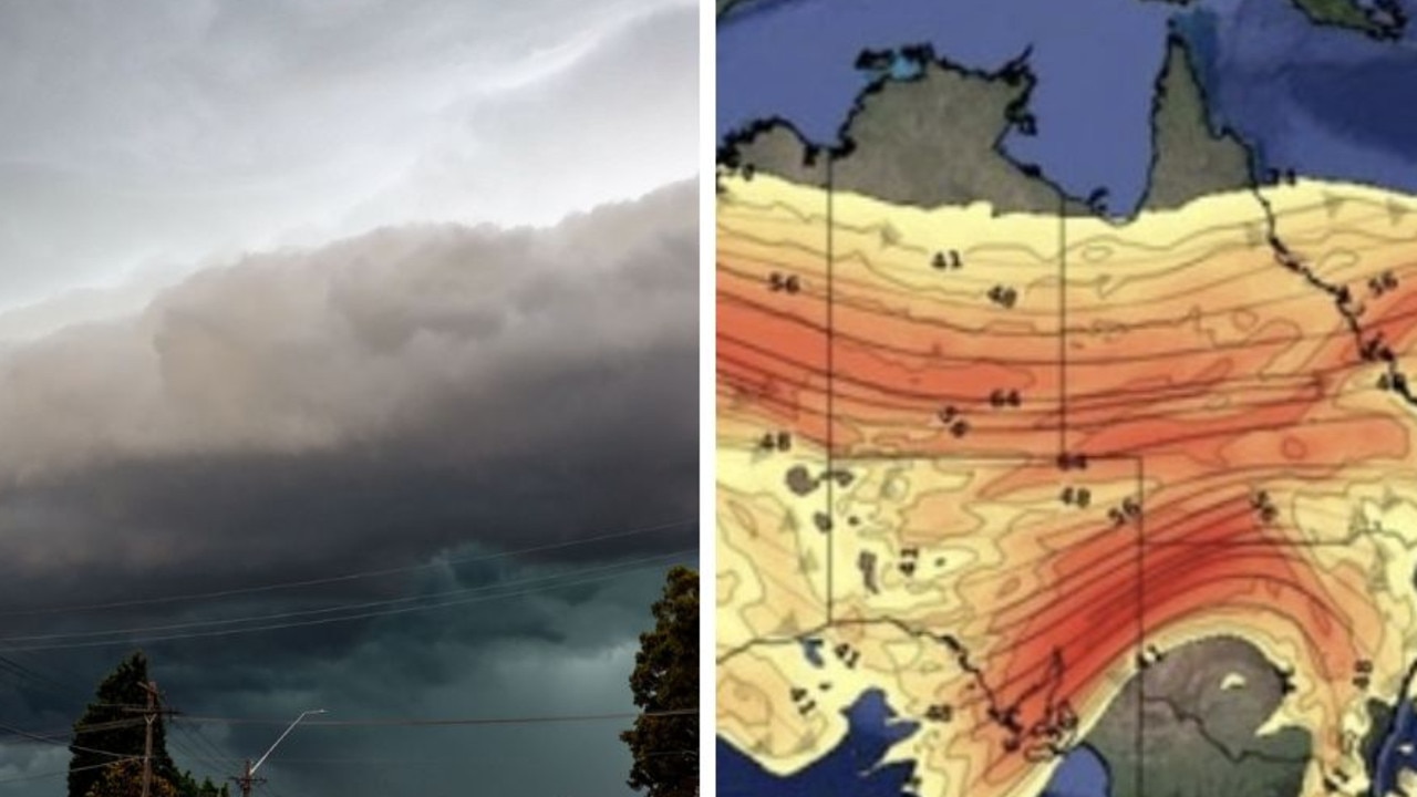
South Australia has been pummelled by storms that have wiped out power to thousands, with the severe weather system also inflicting pain in Queensland, Victoria and NSW.
Heavy rain, lightning and thunder will continue to smash Adelaide on Tuesday morning as more than 8000 households are waking up in the dark.
More than 3000 are without power in the inner city around Ashford, while about 2900 homes are impacted around the Angas Valley.
“Severe thunderstorms are likely to produce heavy rainfall that may lead to flash flooding, damaging winds, with some severe thunderstorms capable of producing large hailstones in the warning area over the next several hours,” the Bureau of Meteorology warns residents in Adelaide, Renmark and Murray Bridge Residents.
Large hailstones, damaging winds and heavy rainfall inflicted pain on the city on Monday night and the tough conditions are expected to remain in SA’s east for the majority of the day.
Adelaide will receive an additional 20mm of rain before the skies clear in the afternoon and for the rest of the week.
Maximum temperatures will hover around the mid-20s over the next few days with a high of 26C on Thursday.
The dramatic weather is also being felt in other states, with Queensland’s southeast hit by particularly strong storm cells, including up to 80mm of rain falling in an hour in Gregor Creek, near Kilcoy.
The three “very dangerous” storm cells inflicted havoc in Logan and Brisbane’s south as well as across Somerset and Cherbourg overnight.
The bureau warned that “heavy, locally intense rainfall that may lead to dangerous and life-threatening flash flooding is likely”.
Brisbane and the Gold Coast will continue to be drenched on Tuesday, with up to 25mm of rain falling across the two areas and storms to persist on Wednesday.
While Sydney has managed to avoid being lashed by storms for now, parts of NSW’s west have been pummelled by rain and other dangerous conditions.
Damaging winds, heavy rainfall and large hailstones were experienced by residents of the Mid North Coast, Central West Slopes and Plains and Western districts and on the Snowy Mountains on Tuesday.
Gusts of 120km/h were recorded at White Cliffs and 255km/h northeast of Broken Hill at about 4.30am on Tuesday.
The storms are now making their way to Sydney where up to 30mm of rain will fall on Tuesday and up to 35mm on Wednesday.
Despite the wet weather, temperatures will hit a high of 24C on Tuesday before heating up to 27C the next day.
South Australia’s storms have now made their way across the border into Victoria, with showers in the state’s west throughout the day on Tuesday.
Melbourne is expected to be lashed by storms on Wednesday when up to 25mm of rain is predicted to fall and winds are expected to reach 40km/h.
The wet and stormy weather is being driven by two upper level troughs, with one to stall “for a few days” over the Murray Darling Basin, according to Weatherzone meteorologist Anthony Sharwood.
The other is causing storms over southern WA and is expected to drift eastwards throughout the week to bring even more rain on the weekend.
